
Village Maps
View and explore village maps with accurate boundaries.
Access village maps, land records and geographic information from anywhere. Take your MapInch workspace wherever you work.
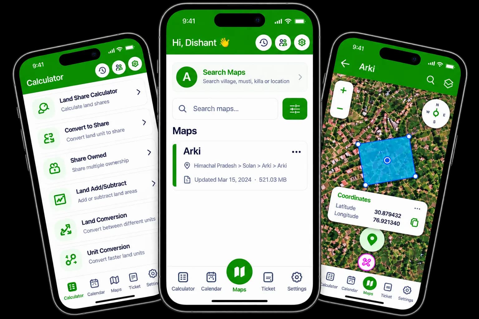
Powerful tools to access, explore and manage your maps — all in the MapInch mobile app.
View and explore village maps with accurate boundaries.
Access land records and related geographic information.
Search and view Killa, Mustil, Reference and Saheda maps.
Open and view supported GeoPDF maps with georeferencing.
Import and view supported KML files in the app.
Convert land units, calculate land area and perform supported calculations.
Manage important dates and set reminders for your work.
Access saved maps and supported data wherever you work.
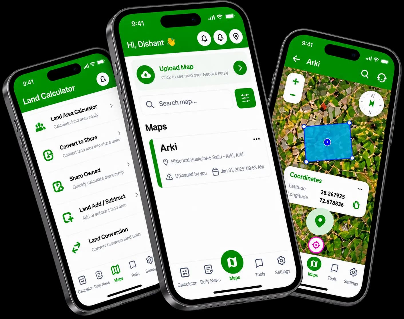
Explore village maps, satellite imagery, land boundaries and geographic tools in one mobile workspace.
Get started with MapInch on your Android or iOS device in just a few steps.
Select Google Play for Android or the App Store for iOS.
Open the relevant store listing and install the application.
Sign in with your existing MapInch account and access your available maps.
A powerful and easy way to work with land maps and geographic information — anywhere, anytime.
Quickly search village maps, Mustil and Killa details.
View available cadastral boundaries and land records.
Access supported calculators, GeoPDF, KML and other tools in one app.
Access your saved maps across supported devices using the same account.
Share maps and print supported map layouts directly from the app.
Built for revenue staff, Patwaris, surveyors and GIS users.
Trusted by individuals, businesses and government users
Digitized and organized village maps
Expanding digital map coverage across regions