
From Maps toMeaningful Insights
MapInch makes it simple to upload, manage, view and work with village maps and geographic information.
Manage Your Maps in 3 Simple Steps
From uploading your maps to exploring geographic information, MapInch keeps the workflow simple.
Upload Maps
Organize & Manage
View & Analyze
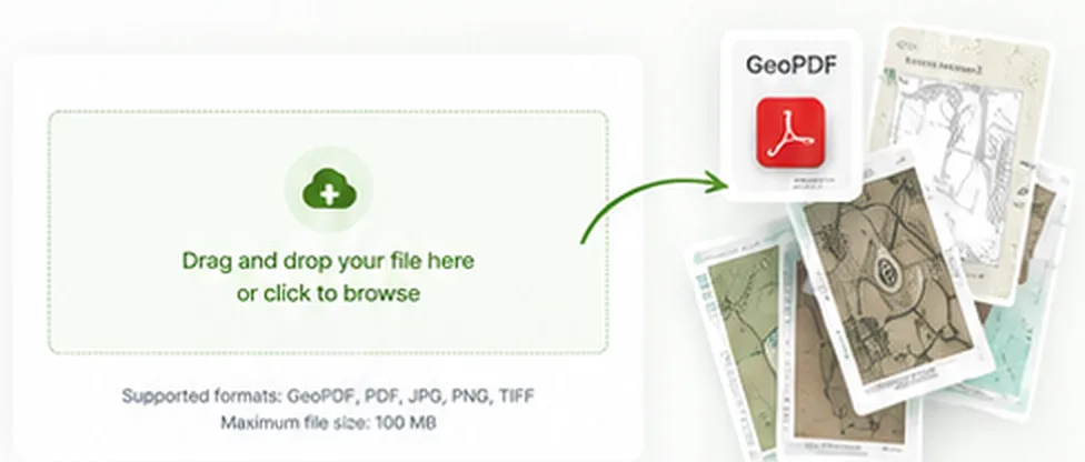
Upload & Access
Your Maps
Add village maps, land records or geographic data and keep everything organized in one place.
Explore Your Maps
with Powerful Tools
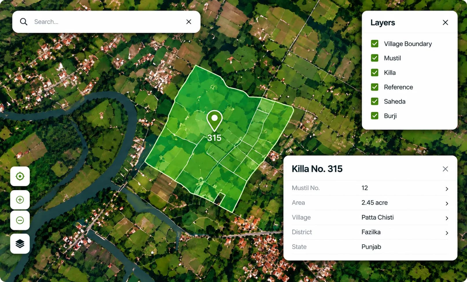
View geographic information, search locations and explore map layers from one workspace.
Work with Your Maps
Wherever You Work
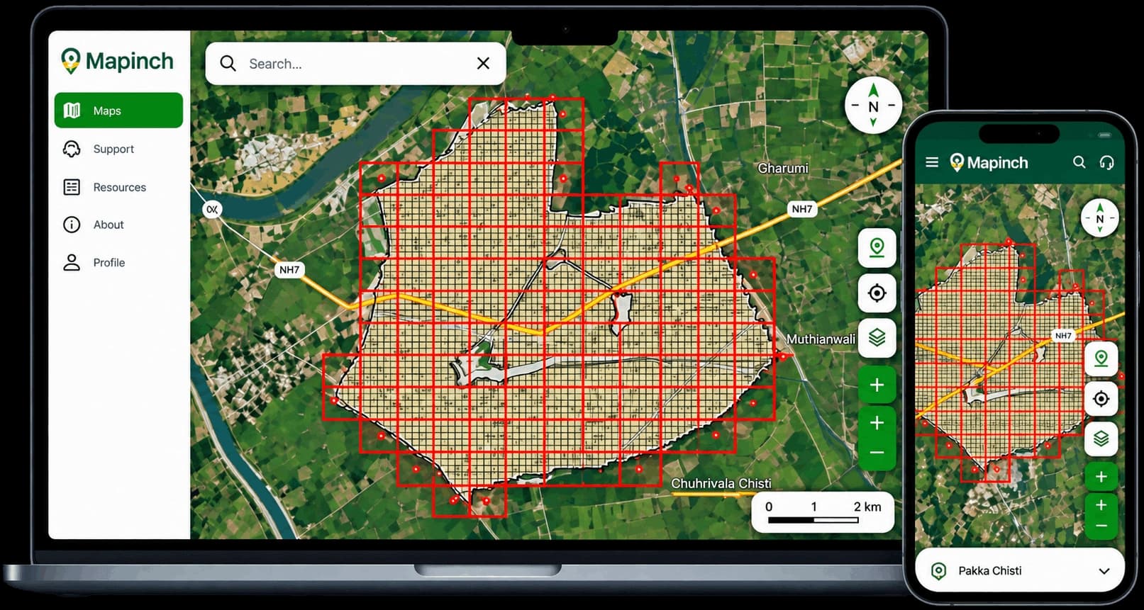
Access your maps across devices and keep your geographic information available when you need it.
Frequently Asked Questions
Common questions about how MapInch works and getting started.
MapInch brings maps and geographic information into a digital platform where users can access, organize, search, and explore available map data through the application.
Ready to Explore Your Maps?
Start managing your geographic information with MapInch.